Walk down to the deep, narrow chasm of Cave Creek and be surrounded by moss-covered rocks and overhanging trees.
-
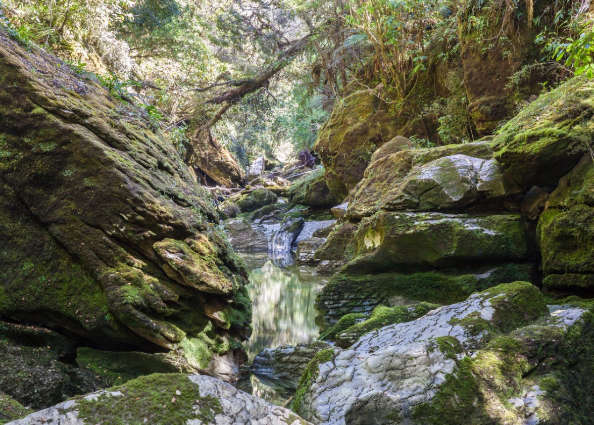
 'Cave Creek, Paparoa National Park'1 of 2
 -
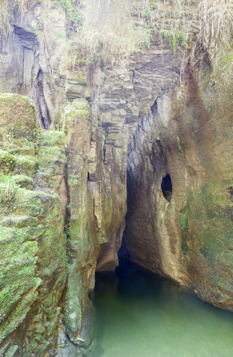
 'Cave Creek, Paparoa National Park'2 of 2
Description
From the carpark, follow the track markers to the T-intersection. Turn right as indicated by the track sign and continue for 300 m until the stone memorial is reached. Turn left and continue to a signpost indicating the track to Cave Creek/Kotihotiho. After crossing a ridge, the track descends into a deeply incised gorge. The creek-bed where the track ends is usually bouldery and dry. In normal conditions, the stream emerges from underneath rocks in several places near here.
Getting there
2 km north of the Paparoa National Park Visitor Centre in Punakaiki, turn off SH 6 into Bullock Creek Road (a 6 km gravel road). Follow this to the carpark at the end.
History and culture
Thirteen students from Tai Poutini Polytechnic and one DOC staff member died when a platform they were standing on collapsed into a chasm at Cave Creek in Paparoa National Park on 28 April 1995. Four other students who were on the viewing platform survived the 30-metre fall.
28 April 2020 marks the 25th anniversary of the Cave Creek tragedy.
Know before you go
Bullock creek road is prone to flooding, check the Paparoa National Park weather forecast before going into the area and avoid if rain is forecasted.
Source: Department of Conservation

