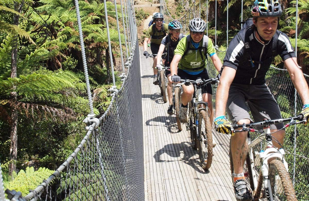
Using historic bush tramways, old bulldozer and haul roads, and newly constructed track, this Grade 2/3 trail features 35 bridges, including some of the highest and longest in New Zealand.
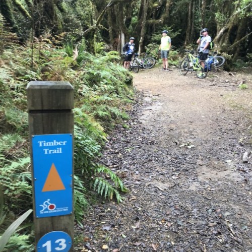
The Timber Trail passes through magnificent podocarp forests of rimu, totara, miro, matai, and kahikatea, as well as some exotic forestry and more open vegetation, offering extensive views of the surrounding landscape.
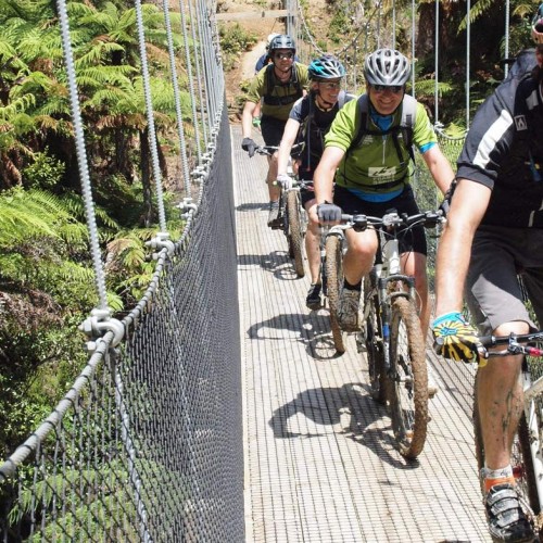
Utilising historic bush tramways, old bulldozer, and haul roads, it features 35 bridges, including 8 large suspension bridges (the longest being 141 metres).
It showcases the historic Ongarue Spiral, a marvel of engineering.
Pureora to Piropiro (40 km)
- Track category: Intermediate/Grade 3
While the trail may be ridden in either direction, the topography will encourage most people to ride from North to South; i.e. from Pureora to Ongarue.
Beginning in Barryville Road, the Timber Trail winds through the Pikiariki Ecological Area before climbing Mount Pureora. The track then sidles around the mountain at 940 m above sea level, traveling across two large suspension bridges before heading down toward the midpoint of the trail at Piropiro.
This is an intermediate ride. Watch for road crossings near Piropiro.
The Timber Trail - Piropiro to Ongarue (45 km)
- Track category: Easy/Grade 2
The historic Ellis and Burnand tramline, the Ongarue Spiral, and the magnificent Maramataha Bridge all await your close inspection on this beautiful piece of cycle trail.
A short ride from the Piropiro campsite and a 30-minute climb will place you on the northern side of the 141 metre Maramataha Bridge. Over the bridge, the steepest climb on the trail leads to the most northern end of the Ellis and Burnand tramline, which is followed for the majority of the ride to Ongarue. This stretch is of easy gradient with some uphill and a downhill ride into Ongarue. There are splendid views of the valley to be had in some of the open areas and lots of history to be seen. This will become a popular ride.
You may encounter walkers and hunters along the trail. Small sections of the trail are also on public road, so share with care.
A gate has been installed near marker 77 to assist contractors logging in the area. The gate is at the bottom of the tram. Take care coming down the hill from marker 76, and close the gate behind you.
This is an easy graded ride.
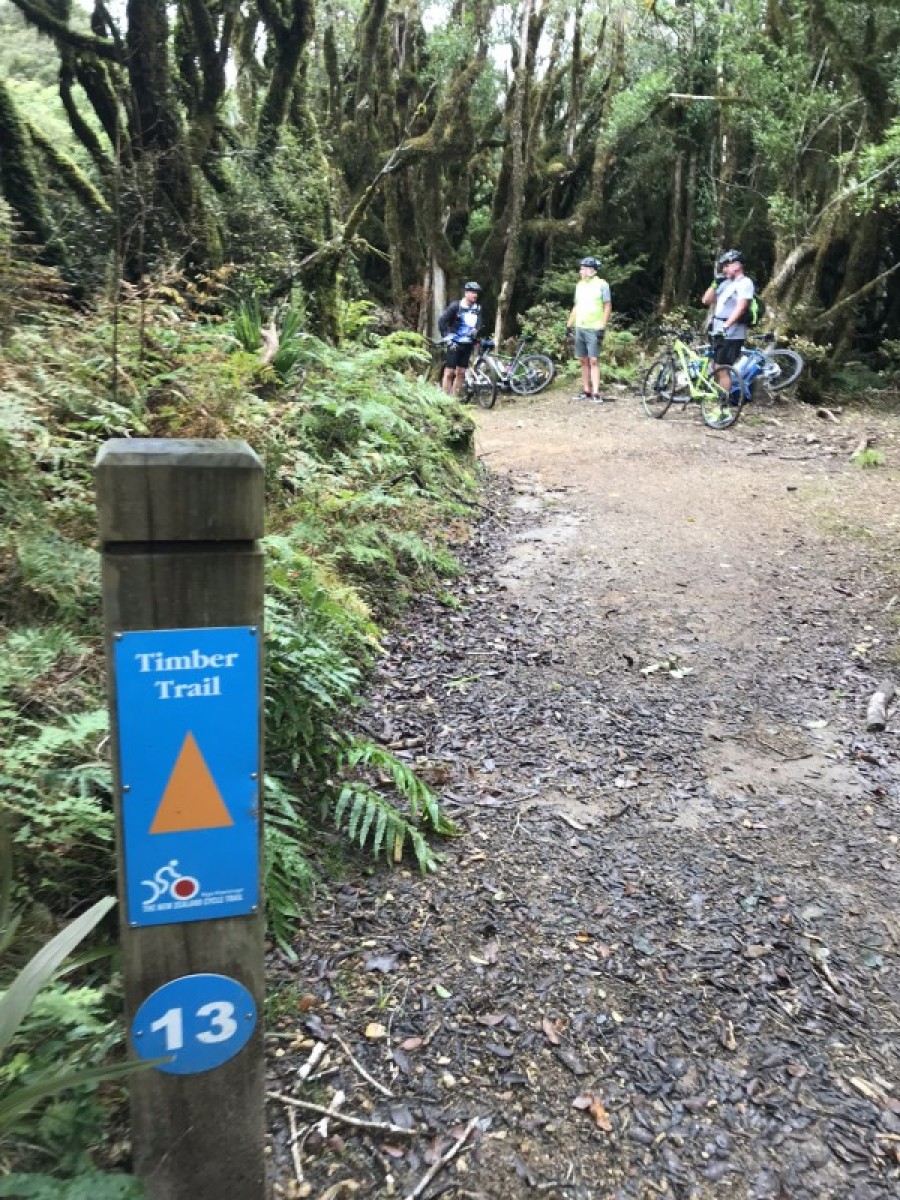
Pikiariki to mountain bush edge (8 km)
- Track category: Easy/Grade 2
The trail begins in the picturesque Pikiariki Ecological Area, about 200 m from the DOC Pureora Field Base on Barryville Road (be sure to head left inside the entranceway, or you will end up on the Totara Walk which is for walkers only).
The trail crosses a boardwalk then winds its way through tall podocarps. Listen out for birds, especially kaka, which are active in this section of the forest. The trail crosses Whareana Road and then Cabbage Tree Road before winding up through an area of toitoi, cabbage tree, five finger and kamahi regenerating after milling. It crosses Tui Road, finishing at the shelter on Pureora mountain.
This section is particularly suited to families with young children.
Crawler tractor loop (5 km)
- Track category: Easy/Grade 2
This is a shorter option and involves returning to Pureora Village via Link Road. It is suitable for all ages and another family-friendly option.
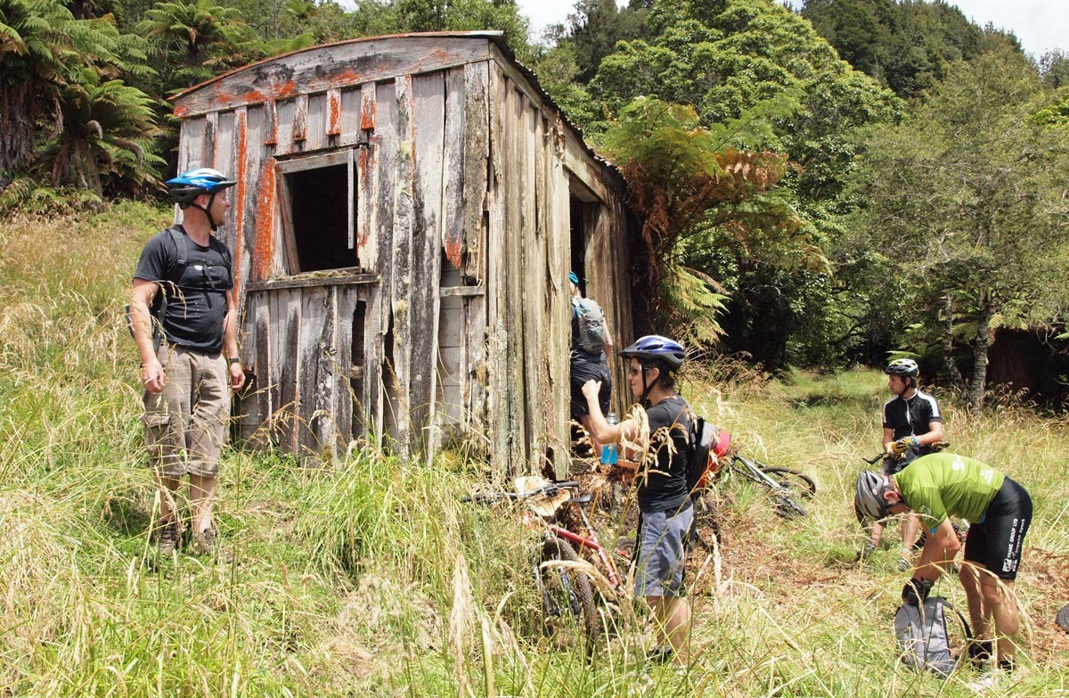
Cycle the first 3 km of the Timber Trail then take the side track to the Caterpillar Crawler Tractor. The tractor was used to recover fencing material from totara logs during the 1930s and 40s. Continue out to Link Road before turning left and following the road back to the start. This is also a lovely walk, taking around 1.5 hours to complete.
Piropiro to Angels Rest (13 km)
- Track category: Intermediate/Grade 3
Traveling from south to north, this is a steeper ride utilising old logging roads as well as new sections of trail as far as Harrisons Creek. It is an easy downhill ride for the return journey.
Getting there
The Timber Trail begins in Pureora Forest and is easily accessed off SH30 between Te Kuiti and Mangakino.
The central part of the trail can be accessed from Piropiro campsite at the end of Kokomiko Road, Waimiha, and from Ongarue, via SH4 at the southern end. There is highway signage near Pureora and Ongarue to direct riders to the ends of the trail.
Know before you go
- There are a number of toilets along the trail for use, but you'll need to take your own toilet paper.
- There is no mobile coverage along the length of the trail.
- This track is not suitable for trail bikes.
- A range of services to support riding the trail are available - see The Timber Trail website
Source: Department of Conservation

