-
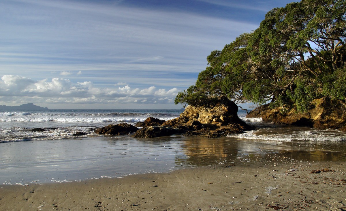 'Ruakaka Beach (11)'1 of 2
Source: Bernard Spragg / Creative Commons
-
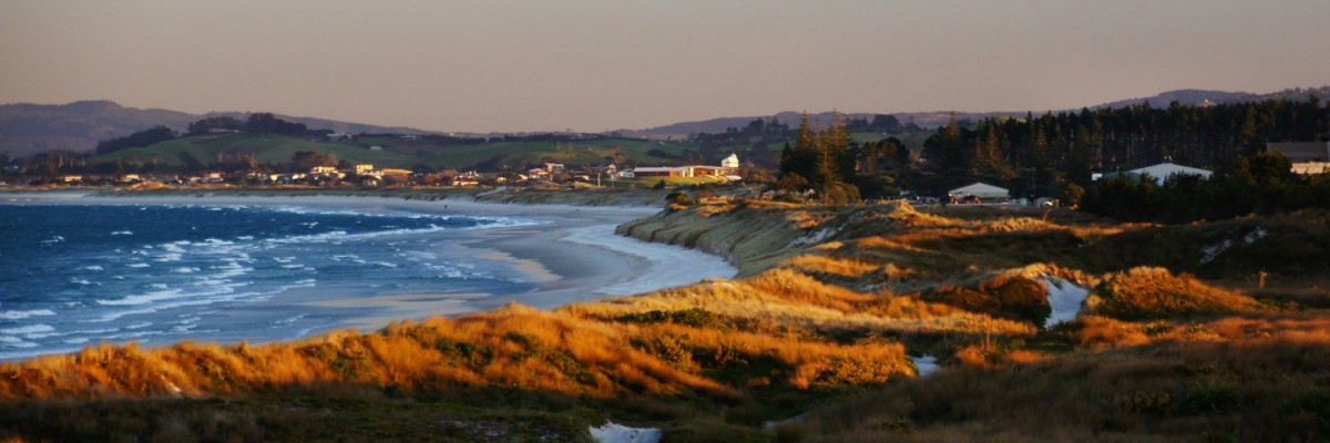 'Waipo Beach (4)'2 of 2
Source: Bernard Spragg / Creative Commons
From Marsden Point, walk south along the beach (low tide is best).
Tide information: Check the best times for walking on www.niwa.co.nz/our-services/online-services/tides
If you want respite from an easterly wind, there is a 3.5km inland DOC track which starts beyond the oil refinery (end of Mair Rd) & follows a pipeline to end behind the Mighty River Power station at Ruakaka (end of Sime Rd).
9km down the beach is the Ruakaka River mouth, which can be hazardous to cross on foot and should only be done at low tide.
Turn west and walk 400m along the estuary shoreline. This is a wildlife sanctuary with many migrant and wading birds, so please do not walk inside the fenced off nesting areas. Opposite the rock/concrete wall (on the south side) is the best place to cross.
(For assistance contact Simon Ellison, who can assist with a kayak crossing. Please arrange a day in advance, and a koha - donation - is appreciated. Ph 432 8668 or 021 233 6748)
Another 6km brings you to a sign on the sandhills for a track leaving the beach and going over the dunes to Tip Rd.
From the beach, follow Tip Rd west. Turn south onto Uretiti Rd, and south again onto Nova Scotia Drive. This will take into the heart of Waipu. To leave Waipu township, take Cove Road to the SE and follow it 6.5km to the junction with Cullen Rd.
How to get here
Northern Start: Marsden Pt (beach)
Southern End; Cnr Cove and Cullen Rds, Waipu
Maintained by: Te Araroa

