-
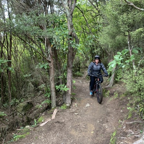
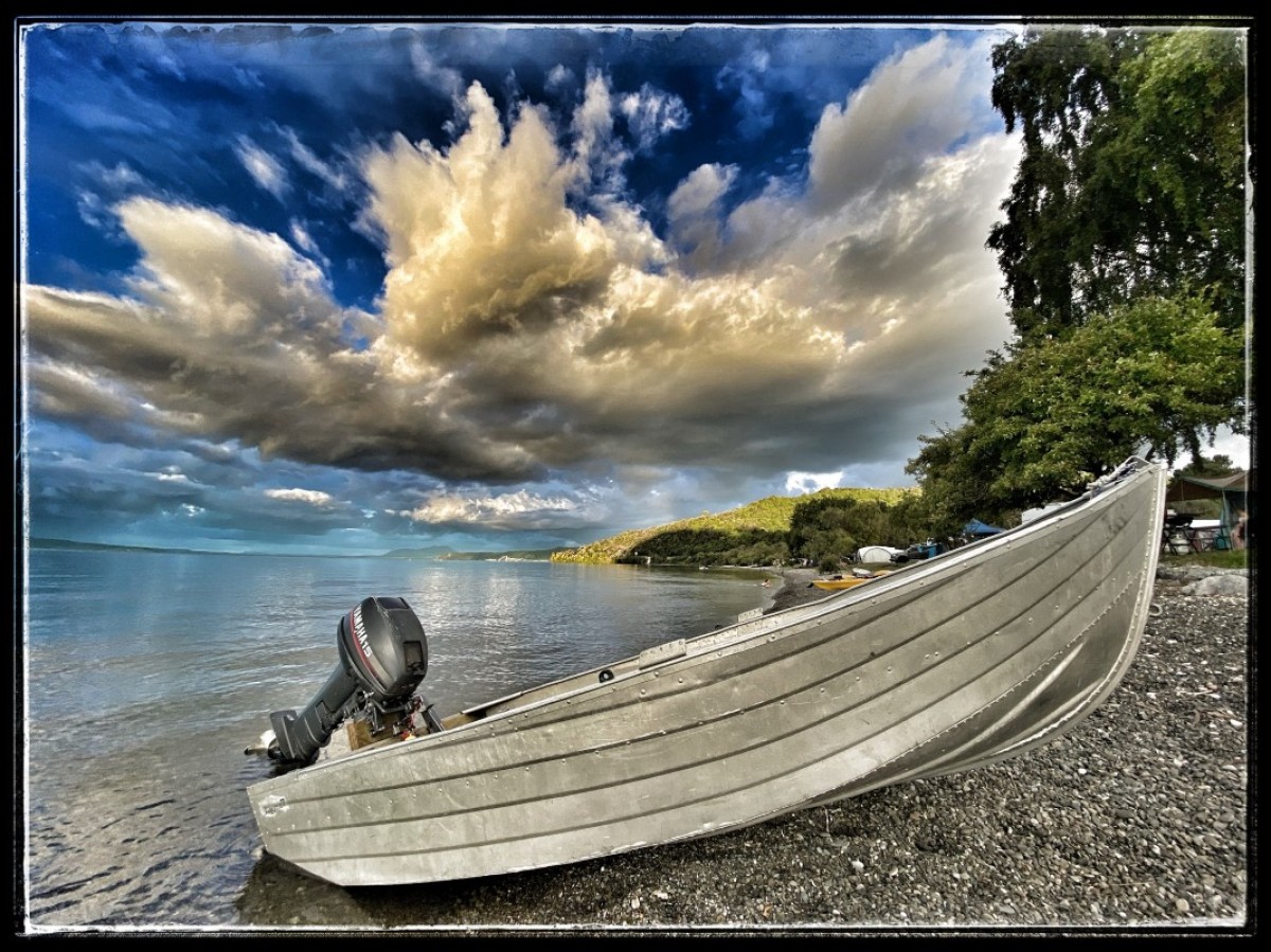 Submitted by Glen Robson1 of 4
 -
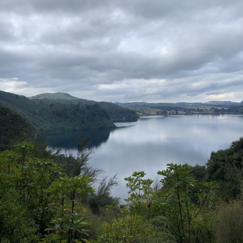
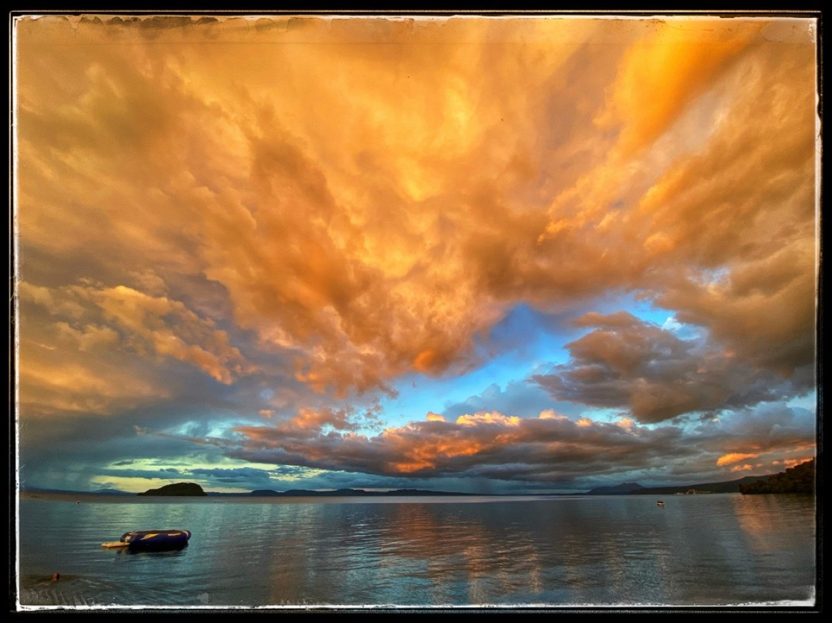 Submitted by Glen Robson2 of 4
 -
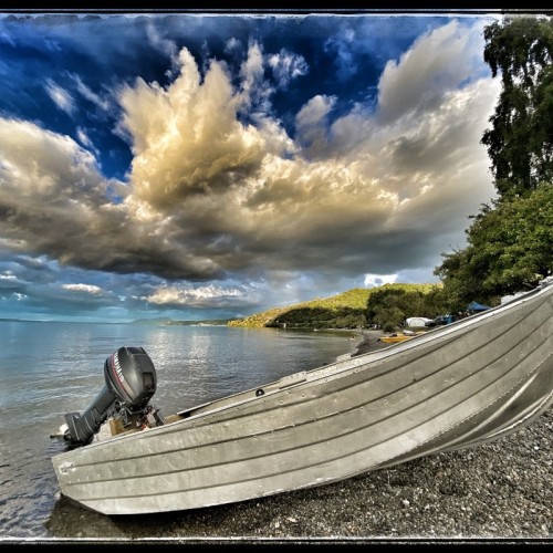
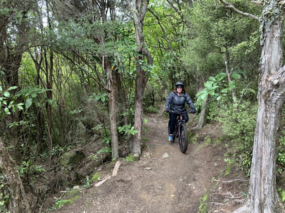 Submitted by Nigel Naylor3 of 4
 -
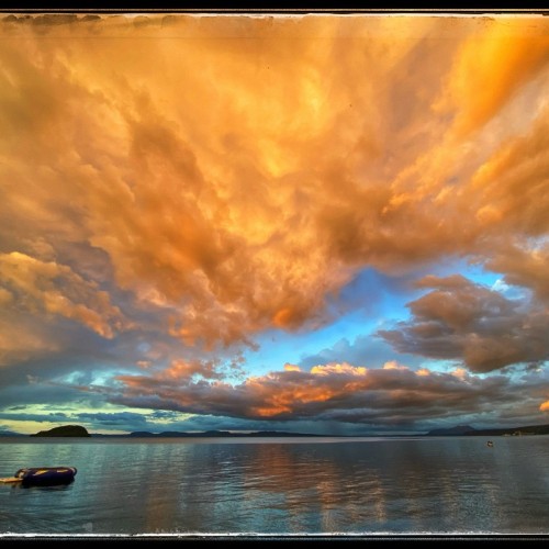
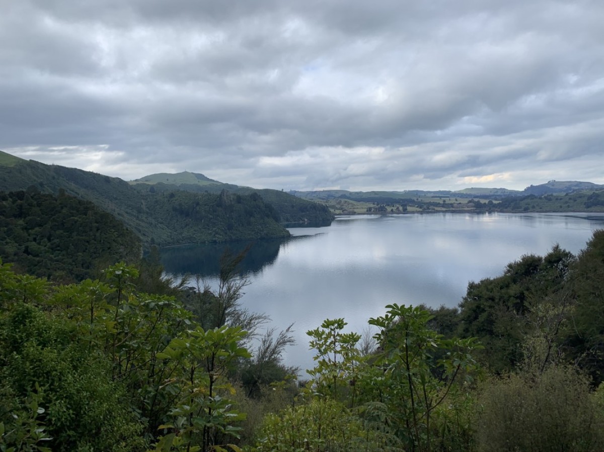 Submitted by Nigel Naylor4 of 4
This trail threads around the edge of Lake Taupō – the massive crater formed through one of the biggest volcanic eruptions in history. It’s a landscape of spectacular gorges and waterfalls, lush native forest and strange rock gardens. Headlands and outcrops afford amazing views over the lake and Tongariro National Park’s volcanoes, while beautiful bays offer picture-perfect picnics and swimming.
The trail is divided into four sections, all easily accessible from the pretty lakeside settlement of Kinloch, a short drive from Taupō. Ride all four over two or three days or pick individual rides according to your fitness, experience and available time. Shuttles and a boat taxi can help you piece it together.
Highlights
- spectacular gorges, ravines & waterfalls
- epic views of Lake Taupō & Tongariro National Park
- flowing singletrack on free-draining, all-seasons terrain
- beautiful, tranquil bays
- native forest, wetlands & rock gardens
- swimming & picnic spots
- water taxi ride on the big blue lake
- pretty Kinloch’s cafes & waterfront park
- colourful, all-seasons riding
- fun family options
The trail’s four sections can be ridden in various combinations, with riders wishing to experience the full trail commonly breaking it into three days of adventure from west to east (as described below).
The westernmost section, Waihaha, requires both a shuttle drop-off and boat pick-up. The other three link up so can be ridden in various ways, although it's logical to ride the Otaketake–K2K Loop then the W2K including the awesome 9.5km Headland Loop.
Kinloch is the main transport hub for adventures on the trail. Transport for a through-ride on the Waihaha section may seem like a hassle, but do not be deterred. This section offers some spectacular riding and is well worth the effort and outlay.
Waihaha
- 30 km
- Grade 3 / intermediate
- 4 – 5 hours
The start of the Waihaha section is 40 minutes’ drive from Kinloch at the Waihaha River car park off SH32. It ends at remote Waihora Bay, requiring a water taxi to rejoin the Great Lake Trail at Kawakawa Bay or return to Kinloch.
If you have your own transport, the best way to tackle this section is to park in Kinloch and organise for a shuttle to drop you off at the track start; the boat taxi will then drop you off back at Kinloch. Riders without transport should ask a local bike tour operator to sort their shuttle and the boat. Whatever you do, don’t let the logistics deter you – this is considered by many riders to be the best day out on the trails.
Seriously fit and eager riders can make the logistics easier by self-driving and riding the trail as a 60km return trip. Another option is to cut the ride short after 13km by cycling up a farm track (Waihaha Road) back to Western Bays Road.
The first half of this exhilarating ride follows the Waihaha River high above a pretty gorge cloaked in native bush. Rocky outcrops command grand views over the volcanic landscape, with the spectacular Tieke Falls a major highlight.
The second half of the ride is equally scenic as it meanders around the lake edge. Highlights include rocky ravines, cliff-top lookouts across the lake to the volcanoes of Tongariro National Park, the mysterious Echo Rock, and the trail’s descent alongside Kotukutuku Stream with its gushes and waterfalls.
The trail ends at Kotukutuku Landing in tranquil Waihora Bay where you can go for a refreshing dip while you wait for your boat.
Note that a popular option from here is to get dropped off by the boat at Kawakawa Bay, for the lovely 10km ride through to Kinloch.
Kawakawa—Kinloch (K2K)
- 19.5 km
- Grade 3 / intermediate
- 2.5 – 3.5 hours
The start of the Kawakawa to Kinloch section is at the Orakau car park off Whangamata Road, 20 minutes’ drive from Kinloch. Self-drivers are advised to park at Kinloch and get dropped off although it's now also possible to ride to the Orakau car park on the new Otaketake section (below).
From the car park, the trail winds virtually downhill all the way to the lake on flowing singletrack, passing through wetlands and regenerating forest and over boardwalk and ravines.
Beautiful Kawakawa Bay marks the halfway point and is a great place to stop for a snack and a dip in the lake’s clear waters. There’s also a shelter and campsite here, which makes bike-packing an option for riders prepared to carry their tents and equipment.
It’s a 3km-climb via switchbacks to get out of the Bay. Then it’s a long, flowing descent towards Kinloch with plenty of eye-popping views across the lake to the western bays. Look out for the junction with the Otaketake Trail, a few kilometres before Kinloch.
The Kinloch Store is a good place to refuel with ice cream, snacks, and wood-fired pizza in summer.
Otaketake
- 12 km
- Grade 3 / intermediate
- 1.5 – 2.5 hours
Opened late in 2019, this brilliant new link can be ridden one way, return, or combined with the K2K section for a fabulous 32km loop.
To reach the start of the Otaketake Trail from Kinloch, head west along the K2K for 3km where the new trail leaves the lakeshore to wind gently up through the Otaketake Stream Valley. It’s a fun 10km, featuring native bush, delightful birdlife, and spectacular viewpoints around the Lake Taupō area.
After emerging from the bush, it’s another 2km of riding beside a country road to reach the Orakau car park on Whangamata Road, the trailhead for the K2K. You can start riding from here, rather than Kinloch, of course.
The 32km loop combines the Otaketake with K2K, with anti-clockwise riding popular for providing the best 'reveals' around the lake edge.
Whakaipo—Kinloch (W2K)
- 13 – 22.5 km
- Grade 3 / intermediate
- 2.5 – 3.5 hours
The popular W2K section can be ridden in either direction but – despite its name – is most commonly started in Kinloch. From there the options are either to ride to Whakaipo Bay (13km) and return to Kinloch via water taxi or shuttle (Whakaipo Bay has a basic DOC campground and is accessible by road); ride as far as the top of the headland and circuit the popular Headland Loop (20km in all); or ride to Whakaipo Bay and back (26km) with the option of adding in the Loop (9.5km).
From the Kinloch marina, the track climbs steadily through native bush onto the headland to meet the aptly named Headland Loop. This 9.5km trail is optional but, with stunning views out to Tongariro National Park and the Kaimanawa Ranges, it would be a shame to miss it!
Where the Headland Loop track rejoins the main trail it’s is a fast and flowing descent to pretty Whakaipo Bay, popular with swimmers, picnickers, and boaties. Return the same way or await your water taxi.
Once again, this ride sees you finish in Kinloch where you can enjoy an ice cream or a meal, and watch the comings and goings-on in the marina.
Source: The New Zealand Cycle Trail