-
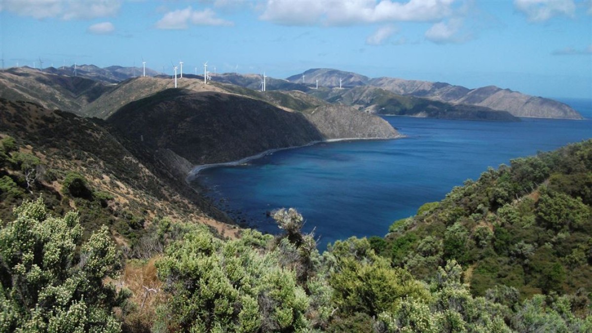
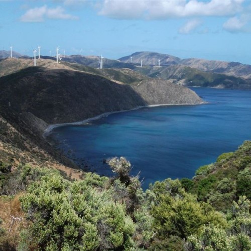
 : 'View looking North to Wharehou and Ohariu Bays'1 of 2
 -
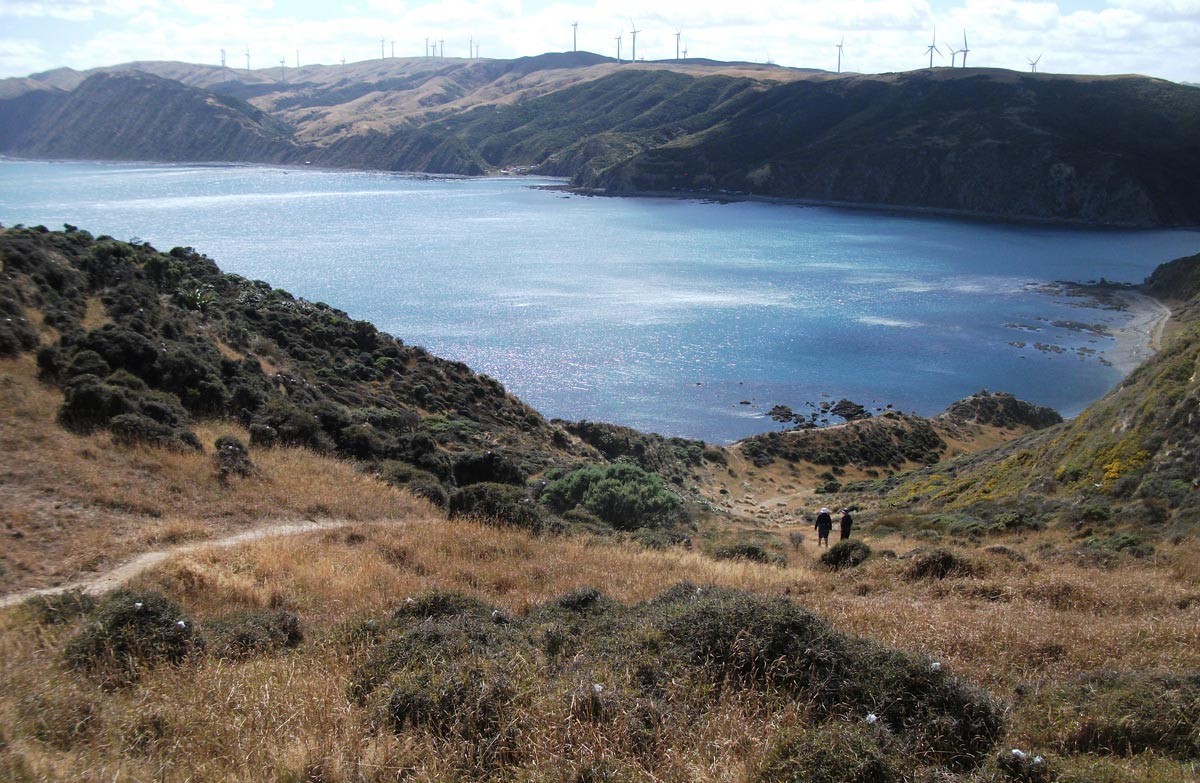
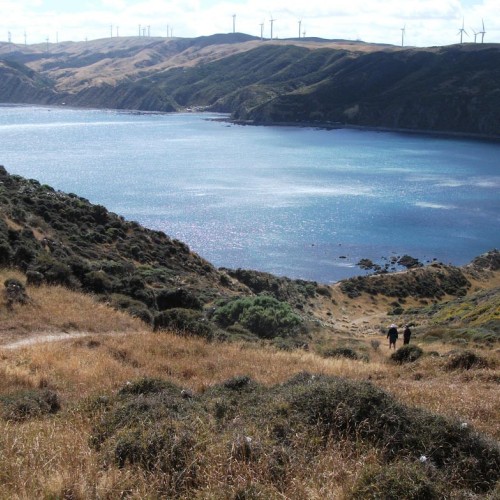
 'Looking down to Opau Bay, from just past Fort Opau, on the Makara Walkway'2 of 2
The track climbs to vantage points with spectacular views, and returning along the beach.
The high cliffs and spectacular views for centuries have provided the people of the area with good vantage points for the defence of their land. A Ngati Ira pa site lies on the promontory at the western end of Fisherman's Bay, and gun emplacements at the top of the cliffs mark the position of Fort Opau, which was garrisoned by 100 soldiers during World War II.
Getting there
Makara Walkway begins and ends at Mākara Beach, 16 km north of Wellington. The beach is at the end of Makara Road which runs from the south end of Karori Road.
Know before you go
Carry food and drink. There is no drinkable water on the track.
Mākara Beach is sheltered from southerly winds, but is very exposed to northerlies. The hilltops are especially prone to gale force winds.
For more information on what you will see on the walk, the history of the area, and how to get there, download the Welly Walks app, Makara Walkway tour.
Source: Department of Conservation

