Enjoy sweeping panoramic views of the Canterbury Plains, Banks Peninsula and the Southern Alps/Kā Tiritiri o te Moana from Mt Thomas (1023 m).
Combine these tracks for a circuit over Mt Thomas.
Summit Track
- Time: 2 hr to the summit
From the picnic area follow Summit Track up a steep ridge to the summit of Mt Thomas. Come back the same way or return to the car park via either Wooded Gully or Ridge Tracks.
Ridge Track
- Time: 3 hr 30 min to the summit
Ridge Track starts at the campground end of Wooded Gully picnic area. Follow the forestry road uphill for about 800 m to where the turn-off to the track is signposted. Follow the ridge up to the junction with Bob's Camp Biv Route (2 hr 30 min). This is the highest point of the ridge before it heads in an easterly direction to Mt Thomas summit (1 hr). Wooded Gully and Summit Tracks branch off this track and you can take either back to the picnic area.
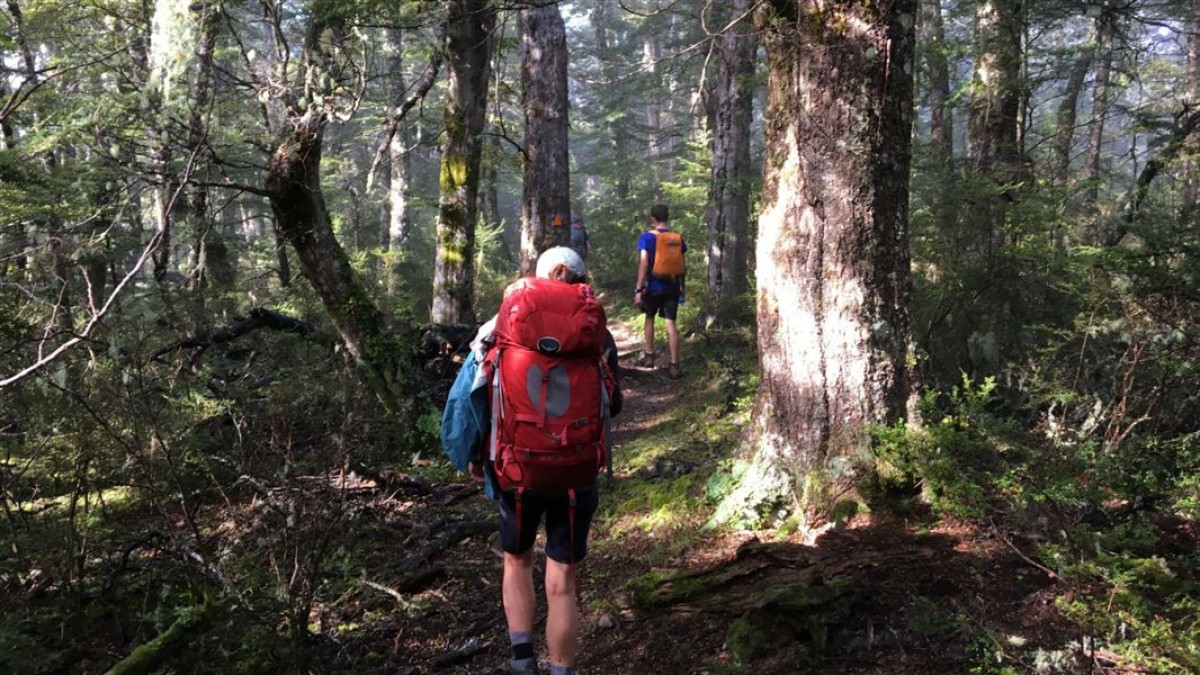
Wooded Gully Track
- Time: 2 hr 30 min to the summit
From Wooded Gully picnic area walk up Wooded Gully Track through beech forest to the junction with the Ridge Track (2 hr). This is a popular walk with the whole track passing through native forest to the saddle and crossing the steam twice. From the junction, you can return the same way, climb to the summit of Mt Thomas (30 min) and return via Summit Track, or follow Ridge Track back to Wooded Gully picnic area past the Bobs Camp Biv turn-off.
Getting there
These tracks start from the Wooded Gully camping and picnic area.
From Oxford, follow Ashley Gorge Road for 13 km to Glentui. Continue on Birch Hill Road for 6 km then turn into Hayland Road and follow this for 4 km to the end.
Birch Hill Road can also be accessed from Rangiora via Loburn.
Know before you go
NZTopo50 map sheet: BW23 (Cust)
Wasp populations reach high numbers from January to March – wear light-coloured clothing and carry antihistamine cream/tablets as a precaution.
Before you go into the outdoors, tell someone your plans and leave a date to raise the alarm if you haven't returned. To do this, use the New Zealand Outdoors Intentions process (external site) on the AdventureSmart website. It is endorsed by New Zealand's search and rescue agencies and provides three simple options to tell someone you trust the details about your trip.
Source: Department of Conservation

