-
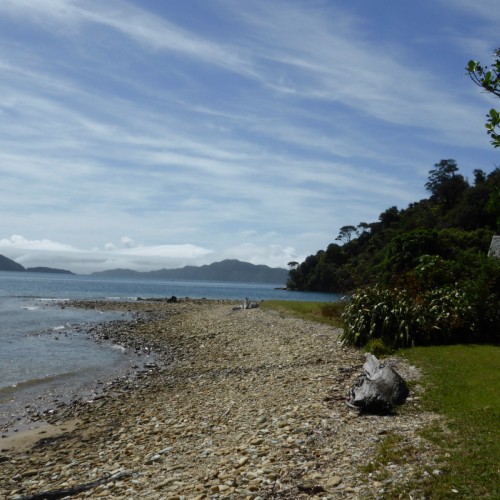
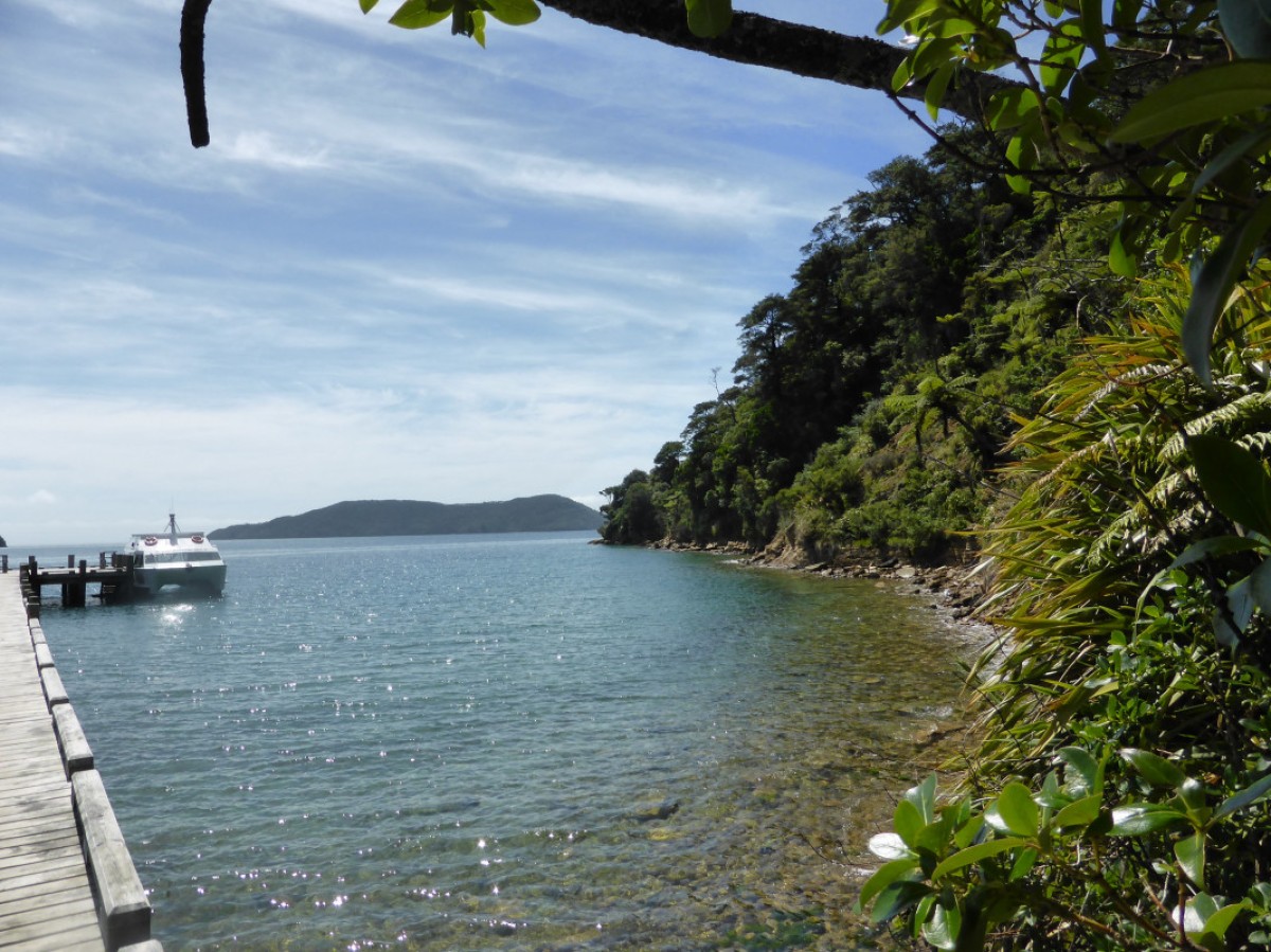 'Queen Charlotte Track, NZ'1 of 3
 -
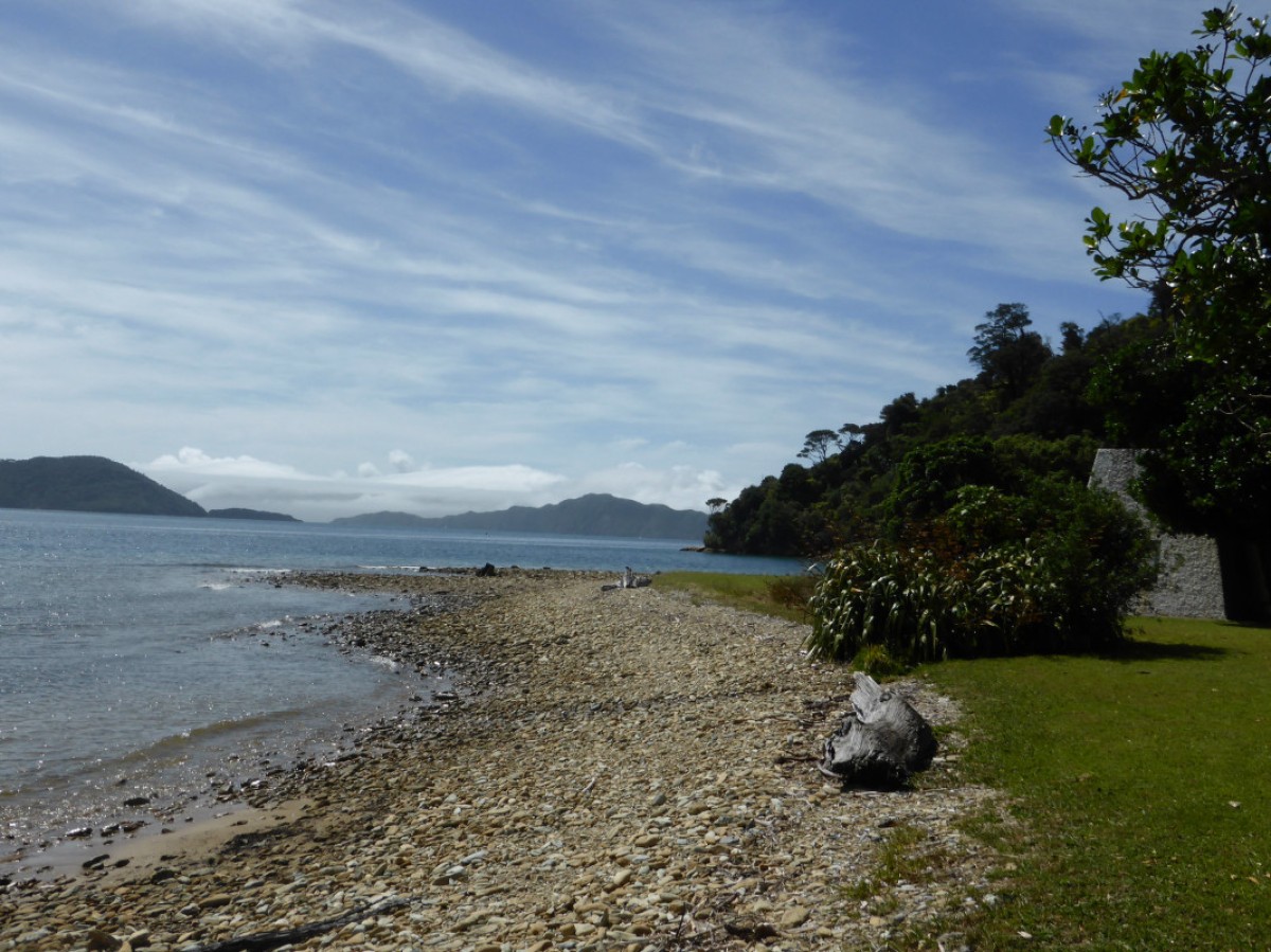 'Queen Charlotte Track, NZ'2 of 3
 -
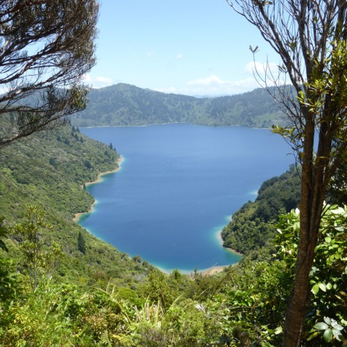
 'Queen Charlotte Track, NZ'3 of 3
You can walk or ride the track in either direction, but it's best to start from Meretoto/Ship Cove.
If starting from Meretoto/Ship Cove, boat operators are available to carry your pack between accommodation places.
The track itself is well signposted but some accommodation places may not have signs. The private tracks leading off the track to the accommodation places may not always be of the same standard as the main track, which is maintained by DOC staff.
The Queen Charlotte Track map on this website and in the Queen Charlotte Track brochure is not a route guide and we recommend that walkers and mountain bikers who require more detailed map information purchase a topographic or similar map.
Walking the track
The walking times mentioned below are only a guide and lean more towards a person with a slow walking speed. A daywalker with a light day pack will take less time than a tramper with an overnight pack.
Sections of the track are on private land and a Queen Charlotte Track Land Cooperative (Q.C.T.L.C.) Pass is required to walk or ride the track in these sections which are between Kenepuru Saddle and Davies Bay near Anakiwa. Buy your pass here.
Mountain biking the track
Mountain biking is a great alternative to walking the Queen Charlotte track. Biking is permitted on the track all year round except for the section between Meretoto/Ship Cove and Kenepuru Saddle, which is closed to bikes over the busy summer season, from 1 December to 28 February each year.
Allow two to three days to ride the entire track, but sections of the track make good day rides, particularly between Meretoto/Ship Cove and Kenepuru Saddle (27 km) and between Mistletoe Bay and Anakiwa (12.5 km).
Biking the Queen Charlotte Track - Conservation Blog May 9, 2013
Approximate biking times:
- Meretoto/Ship Cove to Camp Bay: 5 hr, 26.5 km
- Camp Bay to Torea Saddle: 4 hr, 24.5 km
- Torea Saddle to Anakiwa: 4 hr, 20 km.
If you are moderately fit and experienced at mountain biking, the track is very rideable, albeit steep and challenging in certain sections, especially when rain has rendered it slippery and muddy. You may prefer to avoid the ridge-top sections of the central part of the track by riding along Kenepuru Road between Kenepuru Saddle and Portage.
There are no facilities along the way for repairing bikes; please make sure you have adequate tools and equipment and are competent to complete your own repairs.
This is a shared-use track. Follow the mountain bikers code: respect others, respect the rules, respect the track.
Meretoto/Ship Cove to Resolution Bay
- Walk time: 2 hr
- Distance: 4.5 km
There is no road to Meretoto/Ship Cove so you will need to arrange boat transport to start your walk there. Camping is not permitted at Meretoto/Ship Cove but there are toilet facilities. Most visitors to Meretoto/Ship Cove take time to explore the historic site and enjoy reading the interpretation panels around the site.
The track climbs away from the beach, passing through a largely unmodified forest, where the high canopy is complemented by a diverse understorey of shrubs and small trees. On the ridges higher up, beech trees dominate. After 50 minutes walking, you will reach a lookout point at a saddle, where you will enjoy good views of both the inner and outer Queen Charlotte Sound. Beyond the saddle, the track drops into Resolution Bay, where there is a DOC campsite at Schoolhouse Bay and further along, private cabin accommodation.
Schoolhouse Bay campsite
Resolution Bay to (the head of) Endeavour Inlet
- Walk time: 3 hr
- Distance: 10.5 km
From Resolution Bay the track passes over a ridge and into Endeavour Inlet. It winds downward and follows the shoreline to the head of the inlet, where interpretation signs recall the antimony mining era. Hostel and motel accommodation are available on the way.
Endeavour Inlet to Camp Bay
- Walk time: 4 hr
- Distance: 11.5 km
From Endeavour Inlet the track stays near the shoreline and wanders through regenerating forest rich in small birds. It rounds Big Bay to Camp Bay where there is a DOC campsite and, a little further on, private accommodation. It is possible to bypass Camp Bay by using a direct track to Kenepuru Saddle.
Camp Bay campsite
Camp Bay to Torea Saddle
- Walk time: 8 hr (3 hr to Bay of Many Coves campsite, 6 hr to Black Rock campsite)
- Distance: 24.5 km
The track passes through private land in this section. Make sure you have your Q.C.L.T.C. Pass, buy your pass here (external site).
This is the longest and most arduous section of the journey; most mountain bikers will need to push their bike in various places here. However, from the top of the ridge you will be well rewarded with magnificent panoramas of the Sounds. Climb out of Camp Bay to Kenepuru Saddle and follow the ridge separating Queen Charlotte Sound from Kenepuru Sound. Above Bay of Many Coves and Kumutoto Bay are two DOC campsites, Bay of Many Coves and Black Rock, each with water, toilets and a cooking shelter.
Eventually the track descends to Torea Saddle between Portage and Torea Bay. There is a DOC campsite at Cowshed Bay and private accommodation in Portage Bay.
Bay of Many Coves campsite
Black Rock campsite
Cowshed Bay campsite
Torea Saddle to Mistletoe Bay
- Walk time: 4 hr
- Distance: 7.5 km
The track passes through private land in this section. Make sure you have your Q.C.L.T.C. Pass, buy your pass here (external site).
This part of the journey also follows the ridge line. Here gorse and manuka are prolific, sheltering shrubs and trees that will one day shade the way. A side walk leads to a lookout just before the descent to Te Mahia Saddle begins. At Mistletoe Bay there are cabins and campsites. To book contact Mistletoe Bay Eco Village (external site). There is also private accommodation at Te Mahia Bay.
Mistletoe Bay to Anakiwa
- Walk time: 4 hr
- Distance: 12.5 km
The track passes through private land in this section. Make sure you have your Q.C.L.T.C. Pass, buy your pass here (external site).
Beginning on the road above Mistletoe Bay, this section follows old bridle paths high above the water. The track rounds an obvious point and descends to the DOC campsite at Umungata (Davies Bay). The final hour’s walking is on an easy path through mature beech forest to Anakiwa. At Anakiwa are a carpark, shelter, toilets and phone near the track end, and a public jetty opposite the Outward Bound school. Here you can catch a bus or a boat to Picton or to nearby accommodation (see transport details under commercial operators on page 24 of the brochure).
Davies Bay campsite
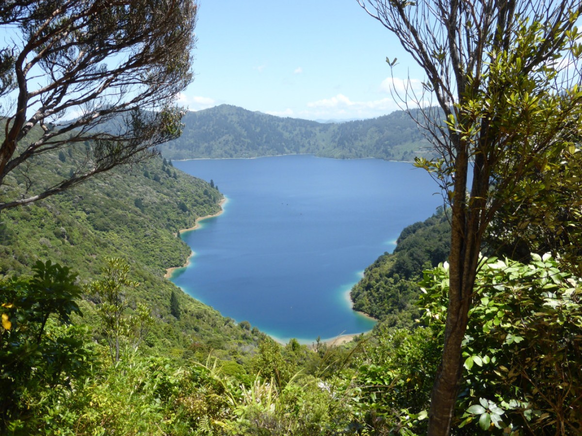
Short walks
With such good access by road and/or sea, most sections of the track can be used for day walks. There are also several short side-trips along the way.
At Meretoto/Ship Cove, you can take the Waterfall Track to a small waterfall in the forest (40 minutes return).
At the head of Endeavour Inlet, the Antimony Track leads up to a saddle and passes through an area that was extensively mined for antimony in the late 1880s (40 minutes return to the mine tailings, 2 hours to the saddle oneway).
In Mistletoe Bay, the James Vogel Nature Track allows you to explore the forest behind the picnic and camping area (45 minutes return). The Peninsula Walk explores the peninsula between Mistletoe and Waterfall bays (30 minutes return).
Accommodation/camping
You can choose to walk or bike the track independently, carrying all of your own clothing and equipment, or you can simply carry a day pack and have your main gear (less than 15kg please) transported by one of the water taxi companies.
The six DOC-managed, ‘self-registration’ campsites on the track, each have toilets and water supply. Some also have cooking shelters and picnic tables. You will need to carry your own cooker and food with you. The campsites at Bay of Many Coves and Black Rock are not at sea level so you will need to carry everything you need to these sites. Remember there are no rubbish facilities: take your rubbish out with you.
You will need to deposit the camp fees for the DOC campsites in the self-registration box at each site or prepay at the Picton i-Site or the DOC Office in Picton. These fees go toward the upkeep of the camp facilities.
A number of private accommodation providers offer hostel, cabin, motel and hotel lodgings, and tent sites alongside or close to the track. The private tracks that leave the main track to private accommodation are not constructed to the same standard as the Queen Charlotte Track and maybe narrow, steep, and slippery when wet. Some private accommodation sites may not be signposted, so make sure you get clear directions when you book.
Source: Department of Conservation

