-
 Is a great trail not to be missed like Spooners Tunnel access it from Flat Rock Cafe at Kohatu and the Copper Mines at Nelson.Tasman’s Great Taste Trail Submitted by Dick Kai1 of 6
 -
 Submitted by Lisa Pitcher2 of 6
 -
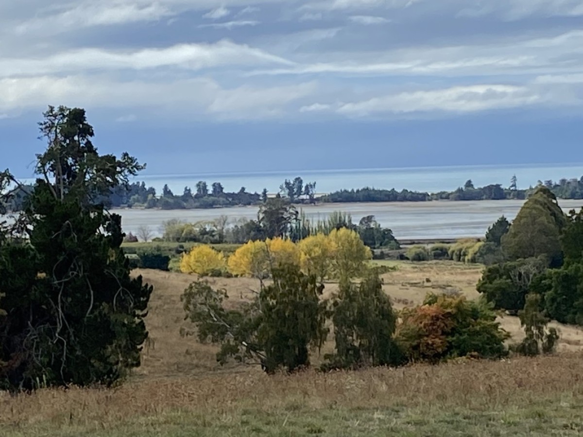
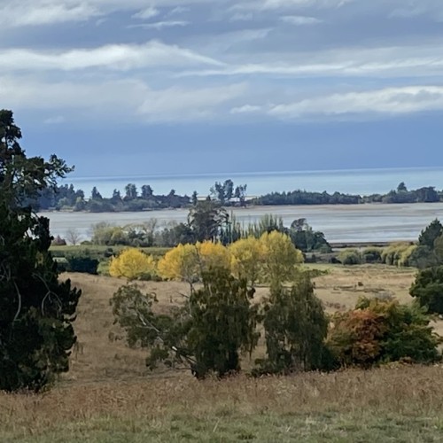
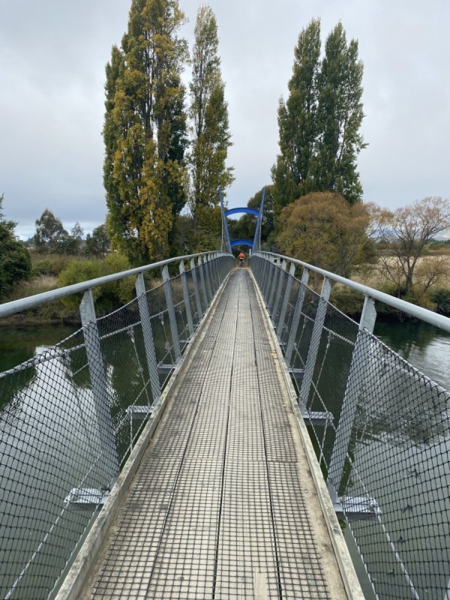 Submitted by Lisa Pitcher3 of 6
 -
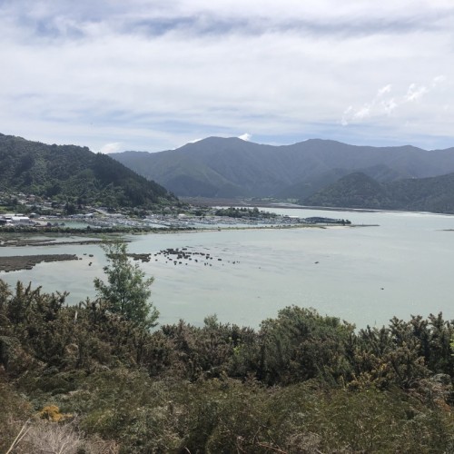
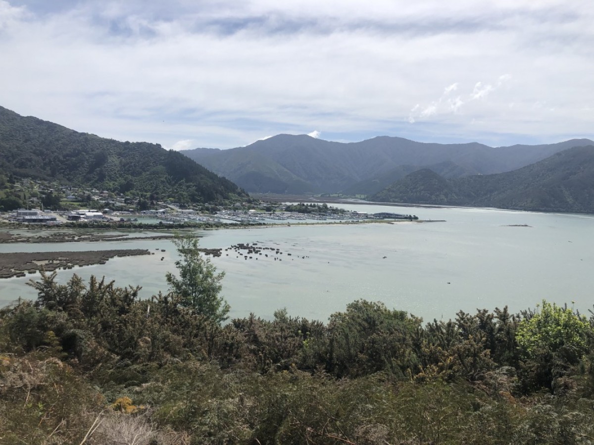 Looking towards Havelock Submitted by Alan Brown4 of 6
 -
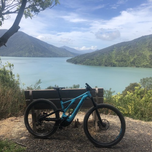
 Resting spot. Submitted by Alan Brown5 of 6
 -
 6 of 6

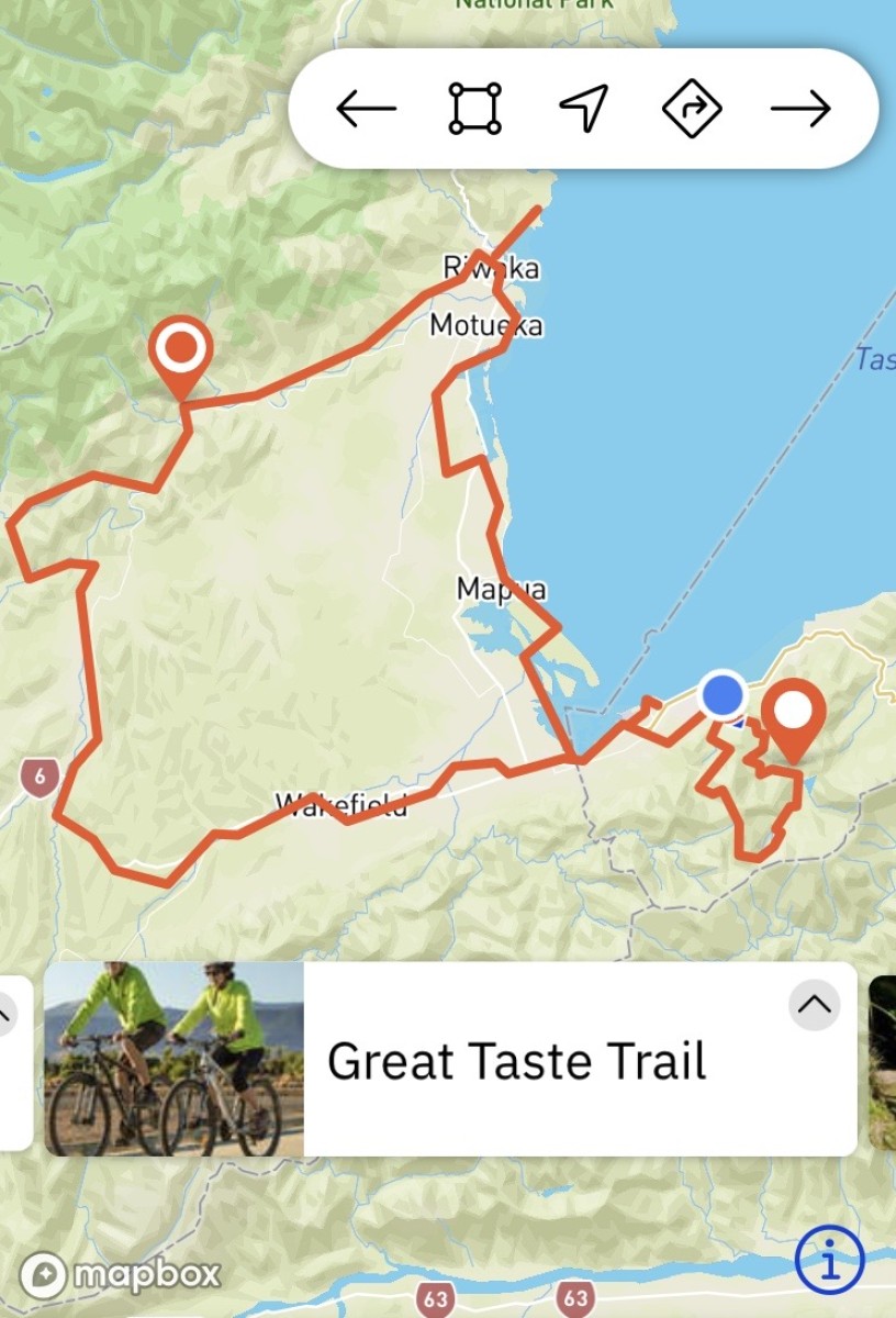
Its mix of rural, urban, coastal, and riverside scenery is a fabulous feast for the eyes. Natural beauty, however, is only part of the appeal, with this trail serving up a tantalising array of tasty attractions – from art galleries and boutique shopping, to fruit stalls, cafes, craft beer pubs, and winery restaurants.
Forming a big loop around the Nelson–Tasman region, the trail can be enjoyed in full over several days or dipped into on short hops or day rides. Base yourself in one place or overnight along the way – either way you’re set for a super-sweet sightseeing tour with flavours to suit almost anyone.
Highlights
- beaches including glittering Kaiteriteri
- fruit stalls, fish & chips, pie shops, ice cream
- pretty vineyards & wine tasting
- artist studios – glass-blowing, ceramics, painters & more
- native & migratory seabirds
- Mapua’s riverside village precinct
- historic (and spooky!) Spooners railway tunnel
- vibrant Nelson city
- Motueka – gateway to the Abel Tasman
- craft beer made here – ‘the home of hops’
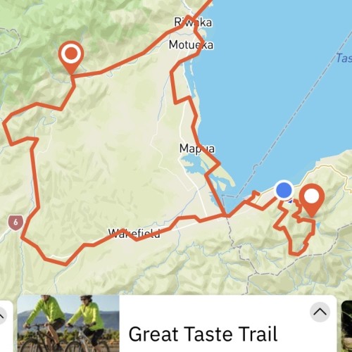
A big, beautiful loop taking in Nelson, Wakefield, Motueka and Kaiteriteri (amongst other settlements) the Great Taste Trail is readily accessible along its full length. This makes for countless return ride and loop options, along with handy bike hire depots and shuttle services making it easy to tailor a trip to suit your itinerary and interests. But no matter how you slice and dice it, be sure to allow plenty of time to stop and enjoy the sights.
Note that this trail is continually improving as dedicated off-road pathway is built to replace temporary sections, mostly along quiet country roads. On-trail signage ensures wayfinding is clear, while the trail website (and Facebook page) detail the latest updates.
Here we describe the trail effectively in its two ‘branches’ – the coastal section (more or less) from Nelson to Kaiteriteri; and from Wakefield through to Riwaka via the inland foothills and Motueka Valley.
Nelson—Mapua
- 35 km
- Grade 2 / easy
- 2 – 3 hours
This section starts at Nelson i-SITE and heads in the direction of adjacent Richmond town via the railway reserve cycleway.
After a gentle up-and-over, it exits the central city and follows a waterside pathway between Nelson’s major highway and light industrial area, and the bird-filled Waimea Inlet. Suffice to say, it’s best to look seaward: this is in fact the largest enclosed estuary in the South Island, home to a wide range of sea birds including the bar-tailed godwit, white heron, royal spoonbill, little egret, Australasian bittern and banded rail.
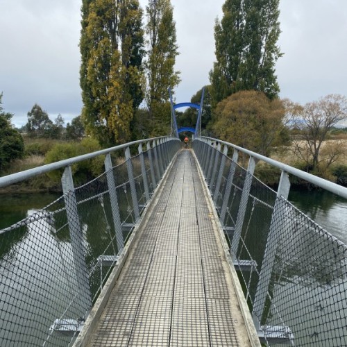
As the trail nears Richmond it splits in two, with the right fork leading towards Mapua on a mix of quiet lanes and a stopbank track. It then crosses the Waimea River via a purpose-built suspension bridge.
(At Richmond, the straight-ahead option leads to the town centre and further inland via the Wakefield section.)
The trail then crosses a causeway to Rabbit Island/Moturoa, a popular recreation area with picnic spots, fragrant pine forest and sandy beaches. It’s a pleasant cruise across the island to reach the ferry landing from where it’s just a 200m boat hop to Mapua wharf. Infrequent sailings make it essential to check the ferry timetable ahead of time.
Mapua is a particularly appealing stop along the Great Taste Trail. It’s waterside location, accommodation, cafes, brewery and shops are good reasons to consider a lengthy linger or overnight stop.
Mapua—Motueka
- 26 km
- Grade 2 / easy
- 2 – 3 hours
Having left Mapua via quiet streets, the trail rejoins the shore along Ruby Bay but soon leaves it again to head into the rolling hill country.
Most folks will find it a comfortable granny-gear climb to a highpoint where there are panoramic views across to the western ranges and big blue of Tasman Bay.
There’s plenty more time to take it all in as trail gradually descends via the aptly named Tasman View Road. After a few turns left and right along more country roads you’ll arrive at Motueka – a lovable little town surrounded by endless fruit orchards and hop gardens. If you’re looking for local flavour, you’ll find it here.
Motueka—Kaiteriteri
- 16 km
- Grade 2 / easy
- 1 – 2 hours
Boasting a mouthwatering blend of rural and coastal scenery and opportunity to taste yet more local flavours, this section starts with the salt-licked sights of Motueka’s seafront then crosses the impressive Motueka River.
The trail then follows pretty country lanes to reach Riwaka where you should keep your eyes peeled for a pie shop, cafe, brewery, and fruit stalls. Be warned that if you ate before setting off from Motueka, you could still be too full for a Ginger Dynamite pie.
(Riwaka is the junction of the inland trail heading up the Motueka Valley towards Norris Gully.)
The trail continues through fruity country to meet a lovely stretch of coastal pathway, at first winding over bridges and boardwalk. A gentle climb reveals stupendous views right across Tasman Bay.
An underpass provides safe access to Kaiteriteri Mountain Bike Park. Even riders without much ‘mountain biking’ experience should enjoy the gently rolling and sweeping route through to Kaiteriteri village.
Kaiteriteri Beach’s glorious golden sands teem with holidaymakers in summer. The waterfront cafe is a good spot to take it all in. Various Abel Tasman National Park adventures also start from here.
Richmond—Wakefield
- 15 km
- Grade 1 / easiest
- 1 – 1.5 hours
This section of the Great Taste Trail heads off on an inland tangent, taking in the country settlements of Brightwater and Wakefield. If you are prepared to explore off the trail here there are several wine tasting opportunities here, as detailed on the Wine Nelson trail.
Rich in history and home to 2000 people, Wakefield is a pleasant place to rest a while or break your journey overnight. It’s also possible to ride back to Richmond, with an alternative route described in the Day Rides section, below.
Leaving Richmond (bottom Queen Street), the trail passes through vineyards to reach Ranzau Road, then turns a couple of corners to meet Pugh Road and eventually the Waimea River. An impressive suspension bridge takes you to the other side.
Off the bridge, it’s a left turn towards Brightwater, a welcoming place to stop for refreshments before heading onward.
Charlotte Lane leads riders out of Brightwater, through an underpass, on to Lord Rutherford and Higgins Roads and into the heart of Wakefield village via Edward Street. All signposting is clear.
Wakefield—Kohatu
- 25 km
- Grade 2 / easy
- 2 – 3 hours
After stopping for refreshments in Wakefield follow the signs to cross SH6 and the Wai-iti River before turning left onto the purpose-built trail, which follows the river for 3.5km through pockets of native bush. Cross the river on the epic swing bridge – spanning almost 50m – then continue between the river and hop vines to Hoult Valley Road.
From here, the trail crosses SH6 and follows a 1.4km stretch beside the highway to reach Wai-iti Domain, and then continues on a dedicated cycle path to reach Belgrove. Check out the Belgrove Railway Windmill (built 1897) as you pass through town.
The trail shadows the road for a while then joins the old Nelson Railway route through the pastoral countryside and past historic tobacco kilns until it reaches seriously spectacular Spooners Tunnel.
The railway line was in use up until 1955 when its closure was met by major protests. One agitator was the trade unionist, politician and feminist Sonja Davies. Davies and other local women sat on the tracks for six days, even defying an oncoming locomotive. Alas, the line was closed.
On the upside, the 1400m-long Spooners Tunnel is now New Zealand’s longest decommissioned rail tunnel. It’s also the sixth-longest pedestrian and cycle tunnel in the world and the longest in the southern hemisphere.
Suffice to say, it’s pretty dark in there, so you’ll need to carry a torch if you want to survey the interior and avoid getting spooked, although we think a spot of spookiness is all part of its charm. A warm layer is also needed as it gets quite cold, particularly in the middle and obviously more so in winter.
Another 7km takes you down to Kohatu junction (passing the Norris Gully car park along the way) where the trail meets the road down the Motueka Valley. This is a good place for refreshments at the Flat Rock Cafe and to get a pick-up if you want to avoid the next section of road riding through to Riwaka.
Kohatu—Riwaka
- 57 km
- Grade 3 / intermediate
- 3 – 6 hours
Kohatu marks the end of the purpose-built trail; this road section is temporary while fundraising and construction continued for the completion of off-road trail.
At Kohatu it’s a right turn towards the small settlement of Tapawera, 7km away, where there’s a cafe, pub, shops, and tiny Tapawera Museum located in the old railway station.
It’s another 17km over Stanley Brook Hill (an 80m climb) to reach the Motueka Valley and the small settlement of Woodstock. A left turn over a bridge leads to a right turn on to West Bank Road, and down the valley, you go.
(You can also head back to Wakefield by turning right from Woodstock onto Dovedale then Pigeon Valley Roads, a journey of 30km.)
From the Woodstock bridge, it’s 27km along the West Bank Road to Brooklyn. The road is relatively narrow but has light traffic volumes.
At Brooklyn, it’s a right turn onto Old Mill Road, left onto Anderson Road, straight across Umukuri Road, on Swamp Road, and then right into Factory Road to reach the junction with SH60 at Riwaka. The cycle trail Kaiteriteri to Motueka section) is across the road.
Source: The New Zealand Cycle Trail