-
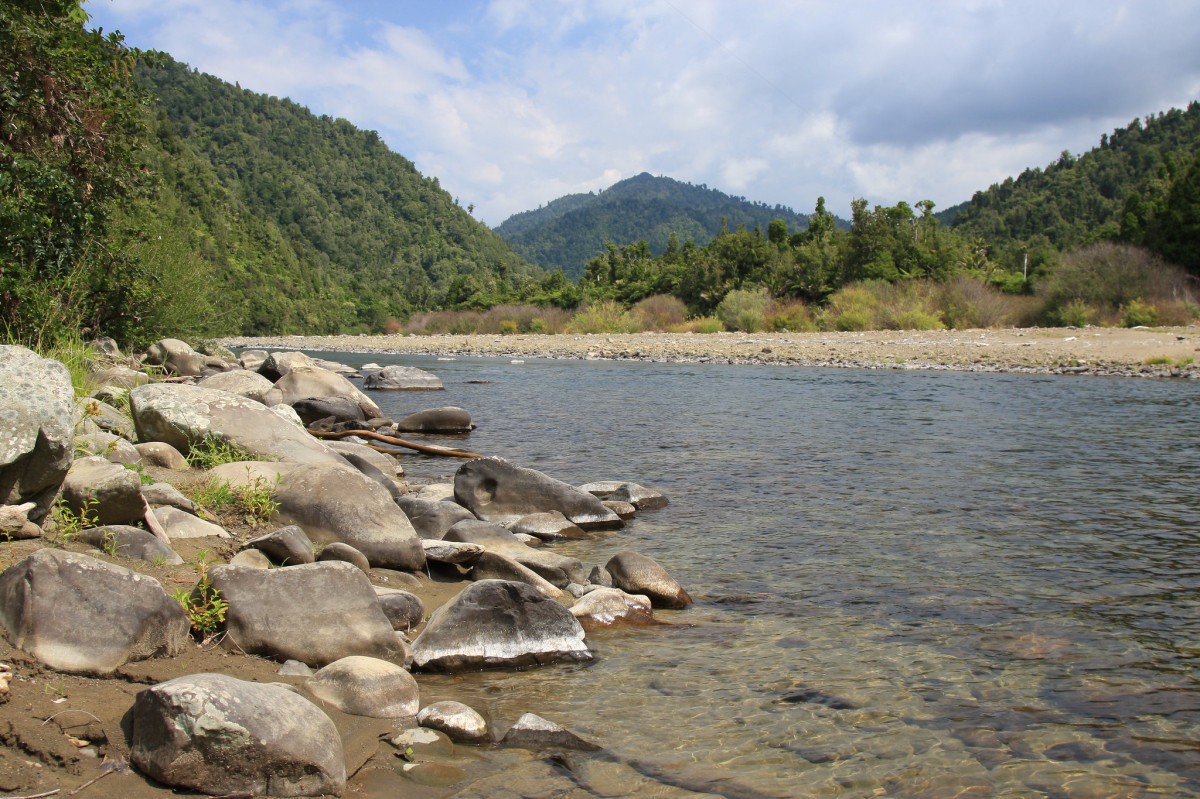
 Climb out at second river crossing Submitted by Evan Keay1 of 3
 -
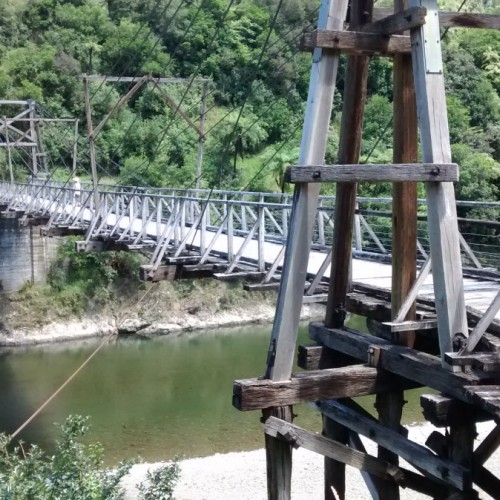
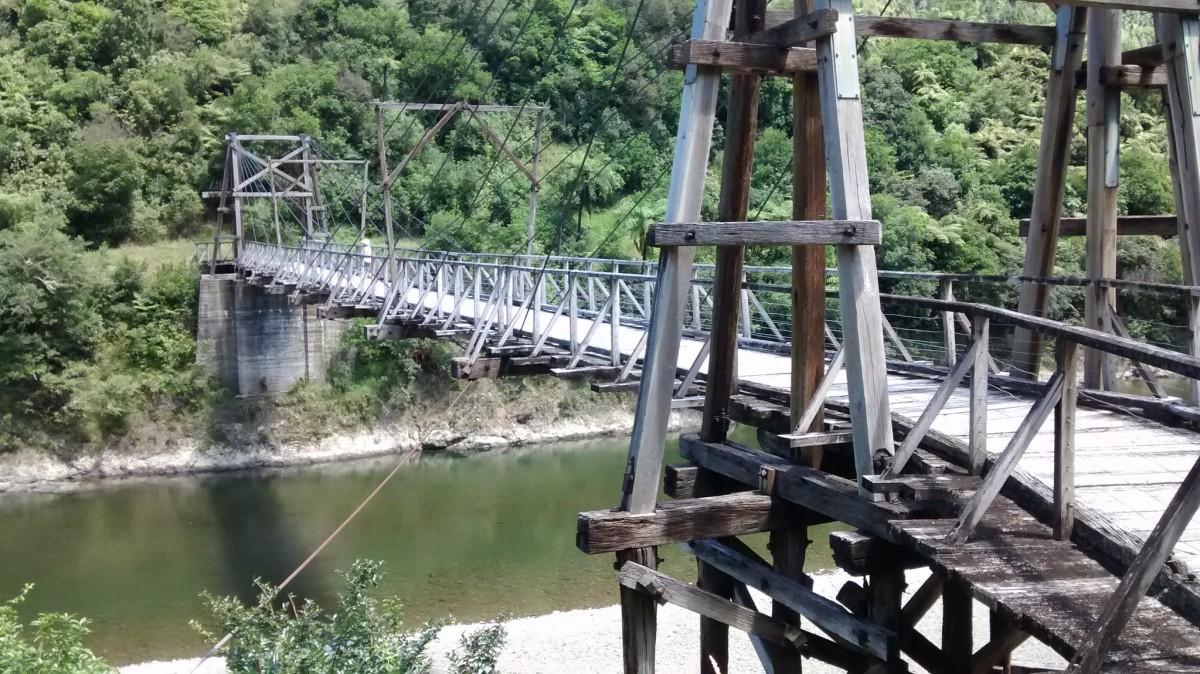 'Historic Tauranga Bridge, Waioeka Gorge, NZ'2 of 3
 -
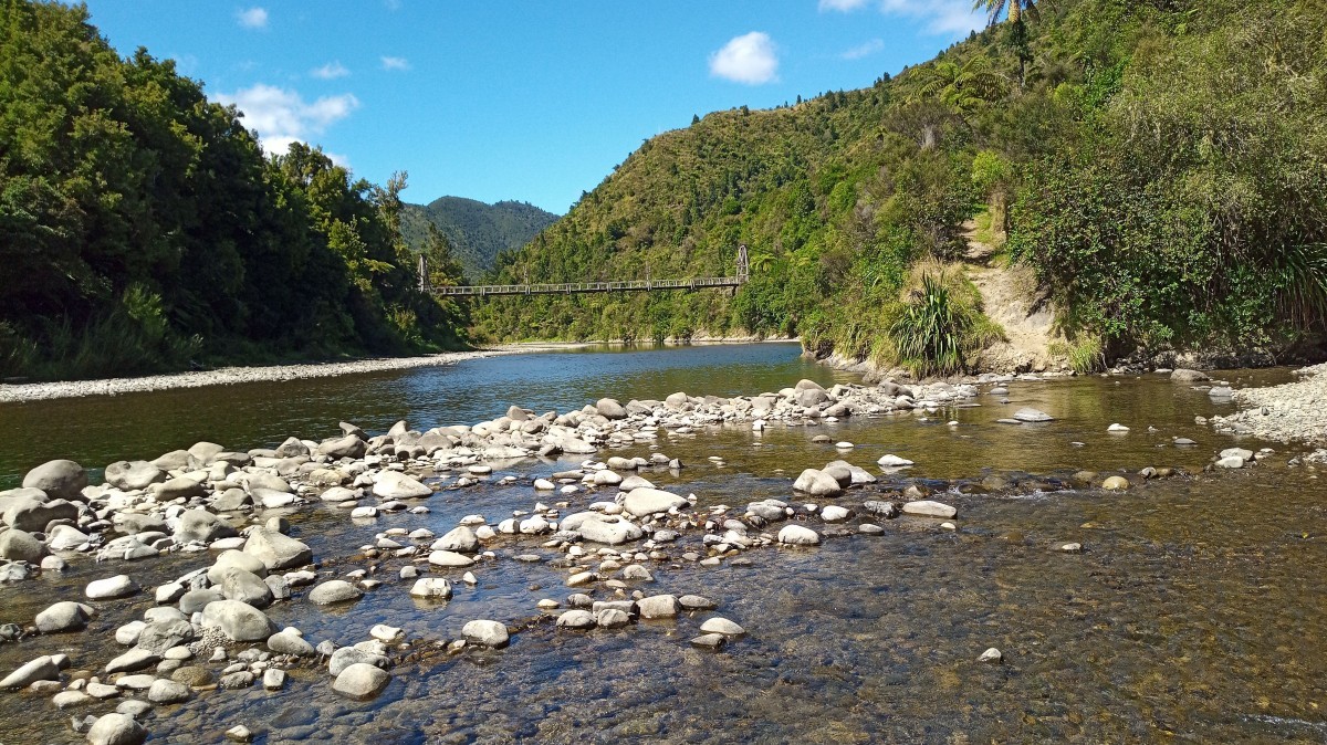
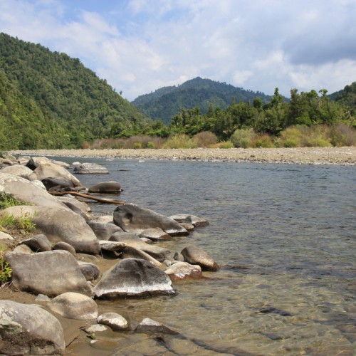
 'Waioeka River'3 of 3
There are parking and picnicking facilities at the start of the walk.
The track starts adjacent to the road and within 5 minutes reaches the historic Tauranga Bridge, spanning the Waioeka River. From the bridge, you can see stunning views of the Waioeka River and surrounding native bush.
Once across the bridge the loop track begins and can be walked in either direction.
Traveling clockwise, turn left, and walk through regenerating farmland on the southern side of the Tauranga Stream for approximately one hour. The track then crosses over the stream to the northern bank and doubles back along the bush edge to the Waioeka River. There is a second stream-crossing at the mouth of the Tauranga Stream to get back to the Tauranga Bridge.
Part of Virtually on Track - Discover, Explore, Connect
Getting there
The Tauranga Bridge and Loop Track are located 26 km south-east of Opotiki on SH2.
Source: Department of Conservation

