-
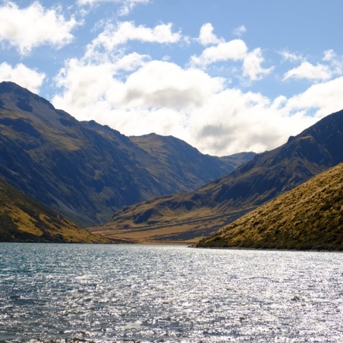
 'Lake Tennyson'1 of 2
 -
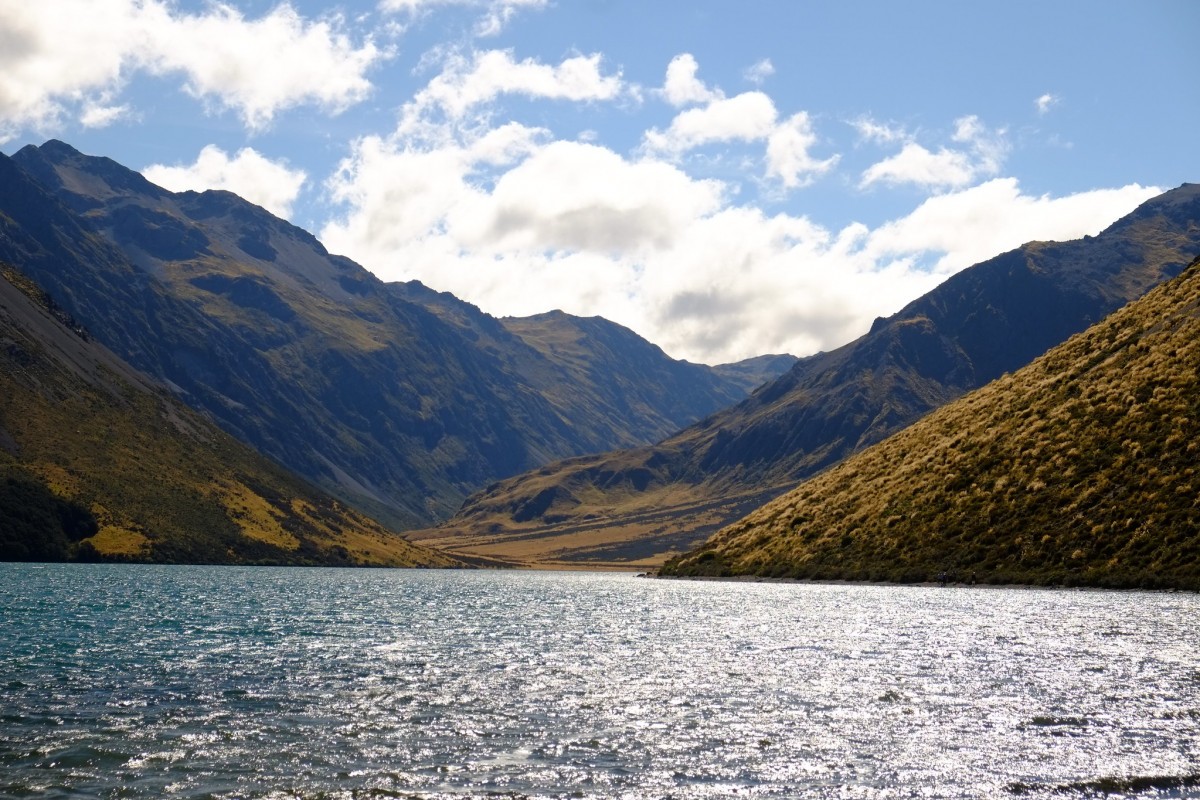 'Lake Tennyson'2 of 2
St James Cycle Trail is open but you cannot complete it as a loop as the McArthur Bridge across the Waiau River has been removed. There is no safe crossing of the Waiau River in the area of the McArthur Bridge. Access from east to west of St James Conservation Area is now only possible via the Saddle Spur Bridge.
Predator control for St James Conservation Area
Be aware of poison bait in the area which is deadly to dogs. for more information visit the doc website
In spring the alpine meadows are in full bloom while summers offer long evenings and the chance to see the famous St James wild horses.
Riding options
The best time to ride is from November to April.
Start at the Maling Pass entrance and finish at St James Homestead - traveling in this direction provides more downhill riding and the prevailing wind is more favorable.
For young families or riders with insufficient time or experience to attempt the full trail, the Peters Loop will give you a taste.
Places to stay
There are three huts on the St James Cycle Trail: Lake Guyon, Pool, and Scotties.
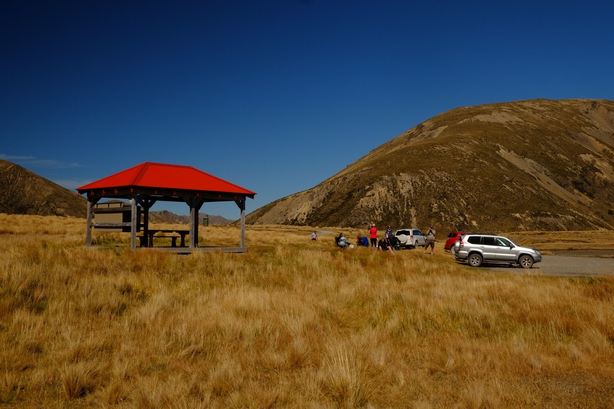
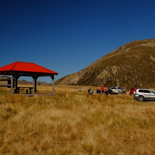
Camping areas and toilets are provided at the St James Homestead and Lake Tennyson, and there are numerous other camping spots along the trail. A day shelter is also available at the St James Homestead.
Maling car park to Waiau 4WD road end
- 12 km
- Grade 3
- 1 - 1 hr 30 min
- Climb +250 metres
Starting at the Maling car park, the trail follows the 4WD track. Gentle at first, the trail soon steadily climbs towards Maling Pass (6.5 km), the high point of the trail (1,308 m).
From the pass, the trail descends steeply through alpine meadows and mountain beech forest into the Waiau valley, crossing streams along the way. Once on the valley floor (10 km), the trail levels out and follows the true-left of the river to the road end.
Maling Pass is the most sensible place to turn back if you have doubts about your ability to complete the entire trail safely. After this point, the trail descends very steeply - control your speed when negotiating the numerous drainage ditches that cross the track.
Things to see
- Rabbit-proof fence - visible to the right of the trail as you descend from Maling Pass. Completed in 1889, the fence extended 125 km from the Main Divide to the Pacific Coast.
Waiau 4WD road end to Saddle Spur Bridge
- 15.5 km
- Grade 3
- 1 hr 30 min - 2 hr 30 min
- Climb +20 m (add 4 km if you go to visit Lake Guyon Hut)
The first third of this section is a purpose-built Easy grade cycle track. From the road end, the trail traverses the hillside on the true left of the Waiau River, before emerging onto the wide river terraces at the junction with the Lake Guyon Track (4.5 km).
The trail now follows old stock and farm tracks that meander down-valley over the grassy river flats, passing by Little Lake and Muddy Lakes before arriving at the spectacular Saddle Spur Bridge.
Note: Once past the junction, be sure to follow the blue trail markers - there are numerous other tracks that can lead you astray.
Things to see and do
- Lake Guyon - also part of the cycle trail is a short detour to this picturesque lake and is well worth the effort (1 km/10 min one way). Cool off with a swim or continue on to the hut (2.5 km/20 min).
- St James wild horses - the famous wild horses can often be seen grazing the river flats.
Lake Guyon Hut
- Category: Standard
- Facilities: 4 bunk beds, heating, mattresses, toilets - non-flush, water from the stream
- Bookings not required - first come, first served
Saddle Spur Bridge to Scotties Hut
- 14.5 km
- Grade 4
- 2 - 3 hr
- Climb +240 metres
This section presents the most challenging riding on the trail. The track is very rocky and uneven in places, with hard climbs, tricky descents, and giant matagouri forest. Once over Saddle Spur Bridge, the trail crosses the demanding Saddle Spur to reach Pool Hut (7 km).
The trail then crosses the McArthur Bridge and follows an old farm track up a series of terraces before climbing steeply to Charlies Saddle (12.3 km). After a winding descent, cross the Edwards River on the bridge to arrive at Scotties Hut.
Notes:
Sections of the trail around Saddle Spur and after McArthur Bridge are very narrow and pass steep drop-offs. It is strongly recommended to walk these sections.
Pool Hut
- Category: Basic/bivvies
- Facilities: 4 bunk beds, toilets - non-flush, water from the stream
- Bookings not required - first come, first served
Scotties Hut
- Category: Basic/bivvies
- Facilities: 4 bunk beds, mattresses, toilets - non-flush, water from the stream
- Bookings not required - first come, first served
Scotties Hut to St James Homestead
- 17 km
- Grades 3 then 2
- 1 hr 30 min - 2 hr 30 min
- Climb +200 metres
From Scotties Hut, follow the 4WD track up the Edwards valley. The trail is mostly easy and smooth, with short stretches of the rocky riverbed and four unbridged stream crossings.
The climb up to Peters Pass (10 km) is the last big effort on the trail - followed by an easy downhill run through the beautiful Peters Valley to the St James Homestead and the end of the trail.
Note: Once the trail leaves the 4WD track above Peters Pass, be sure to follow the blue trail markers down into Peters Valley
Things to see and do
Cow Stream - the short detour to this hot spring is well worth the time and effort (1 km/10 min) - great to ease aching muscles and sore behinds!
St James Homestead - numerous protected historic farm buildings dating back to the 1880s give a glimpse into the past glories of this high-country station. The woolshed deserves exploring.
Getting there
From Christchurch, take SH1, SH7, and SH7A to Hanmer Springs.
From Hanmer Springs take Clarence Valley Road over Jacks Pass to connect with Tophouse Road (13 km from Hanmer Springs). This road follows the eastern boundary of the St James Conservation Area as far as Lake Tennyson. The trail starts and finishes on Tophouse Road.
Note: The roads from Hanmer Springs are backcountry gravel roads suitable for cars. Take care as there are narrow sections and blind corners, and dust from other vehicles can severely reduce visibility. Be ready to encounter cyclists and horse-riders at any time.
Car parking
Off-road parking is available at both ends of the trail. Riders may choose to leave their vehicles at the Homestead and cycle 25 km up Tophouse Road to the start of the trail. Do not leave valuables in your vehicle.
Know before you go
What to expect:
- You will need to be reasonably fit and experienced to undertake the full trail.
- The beginning and end sections of the trail comprise Easy and Intermediate grade riding. The central section comprises difficult and remote Advanced-grade riding, with river crossings and bike carrying in places. Riders need to be fit and experienced to do the full trail.
- You may meet walkers, 4WD vehicles, and horse-riders on this trail.
- This is a shared-use track. Follow the mountain bikers code: respect others, respect the rules, respect the track.
Be prepared:
- The trail travels through a remote alpine environment, subject to weather extremes, flooded rivers, and avalanches.
- Telecommunications - there is no cell phone coverage beyond Jacks' Pass. Take a satellite phone, mountain radio, or PLB (personal locator beacon). Hire outlets are listed on www.beacons.org.nz
- Rivers - treat all rivers with respect; never attempt to cross swollen rivers or streams.
- Avalanches - Maling Pass can be affected by avalanches in spring/early summer when warmer temperatures or rain make the snow unstable. Even if you cannot see snow from the tracks there may be enough snow on upper slopes to form an avalanche that could reach the track.
- Drinking water - we recommend you boil, filter, or treat your water. Avoid taking water from the lakes as waterfowl are often present in large numbers.
Before your trip ensure you have:
- Thoroughly prepared your bicycle for the trip
- Obtained current cycle trail status from the DOC website or Hanmer Springs i-Site
- Checked the latest weather forecast
- Essential bicycle spares and tools
- A 406MHz PLB or mountain radio
- Enough warm clothing and extra food to spend the night out if you have to
- Insect repellent
Before you go into the outdoors, tell someone your plans and leave a date to raise the alarm if you haven't returned. To do this, use the New Zealand Outdoors Intentions process on the AdventureSmart website. It is endorsed by New Zealand's search and rescue agencies and provides three simple options to tell someone you trust the details about your trip.
Source: Department of Conservation

